100 years of pumping has reduced stream flows by 50 percent in some areas
by Jason Daley, Sierra magazine, 7/2/19
[N.b.: this is the bottom line of our earlier article “Rain gardens / green infrastructure / Stream Protection Fee“: Our community, county and country need to see that water runoff goes back into the aquifer. Chester County does not have a problem right now, due to lots of rainfall; see much interesting data at Chester County Water Resources Authority. But the point is to be ready for any future droughts by getting our water recharging systems in place, as well as reducing excess runoff and toxic matter flowing into streams. And our municipalities do rely on the aquifer for water for human use, whether directly by pumping or indirectly by drawing water from streams.]
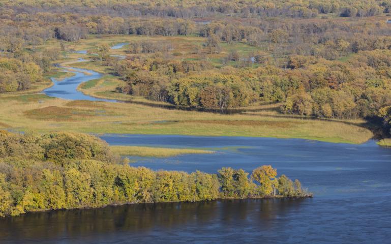
Photo by John_Brueske/iStock
On the surface, it’s pretty obvious how humans have altered lakes and rivers over the past century; dams have turned rivers into strings of reservoirs, the Mississippi River is more or less a concrete-lined sluice, and artificial ponds have proliferated by the thousands. Less apparent, but perhaps just as important, is how tapping into the groundwater systems that underlie the United States has impacted those streams and lakes as well. Now, a new detailed study in the journal Science Advances shows how much groundwater pumping has impacted those water bodies, in some cases reducing their flows by half. …
read more at Sierra magazine
